A GeoTIFF is a standard file format for storing georeferenced raster imagery. It’s essentially a TIFF (Tagged Image File Format) file with additional tags containing geographic information, allowing it to be used in GIS (Geographic Information Systems) applications. These tags include information like map projections, coordinate systems, and datums.
How to Order
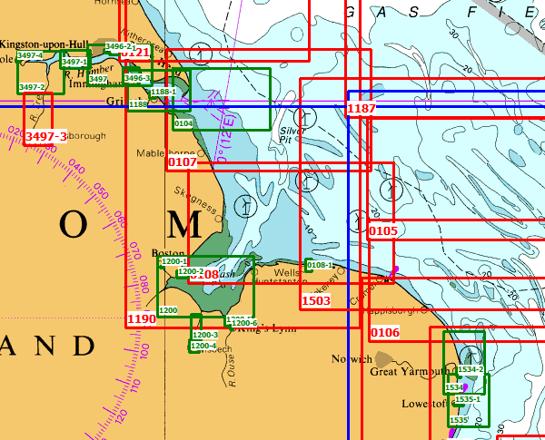
Either provide us with the UKHO chart numbers you require or the geographical area of interest. We will then send you a quotation, the cost will depend on the amount of data in the area, the number of users and the time the data is required. (Normally one year). Please note not all admiralty charts are available, this depends where the UKHO has permission to supply data in GeoTiff format. All data in unencrypted.